Friday, December 29, 2023

World Tour 2 - Leg 64 - Kushiro to Nakashibetsu

As I mentioned, I got this opportunity to make good money in a short leg, with bad weather approaching in few hours. So I decided to take it and take off as soon as I could from Kushiro.


The leg had nothing special, I just followed a VOR station direct to the destination, at 50 nm. As I approached I saw beautiful squared patterns on the fields, with large areas separated with trees from each other. Interesting perfect geometry. I also had on my left lakes Mashu and Kussharo, caldera lakes that seem beautiful. However, I decided to avoid them by now and just finish this leg quick. I could fly over them on the next leg if I consider it interesting.


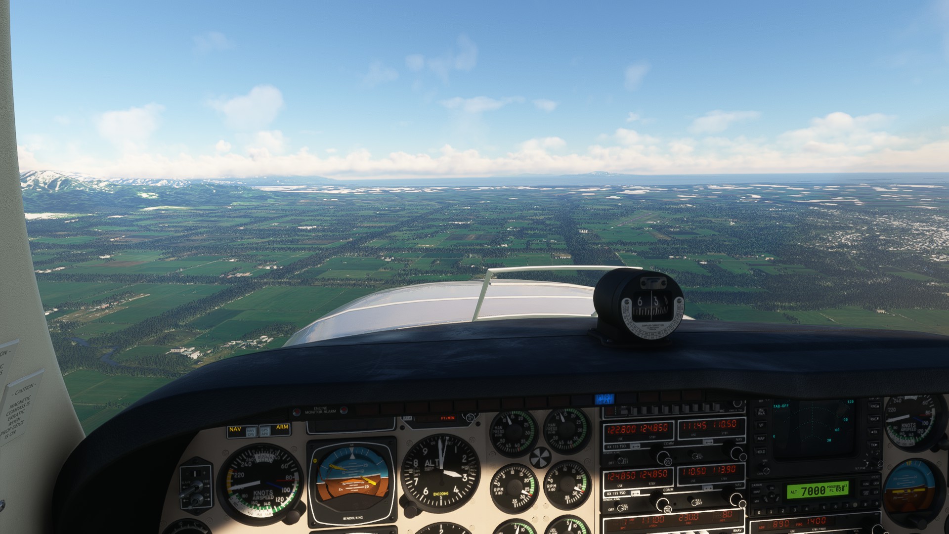
The METAR informed about tailwind of 3 kt. Since the runway was long, originally I thought about landing anyway with that tailwind. However, I was unable to deccelerate ot time, arriving too fast to final, so I decided to enter on a traffic pattern to lose speed and land against the wind.


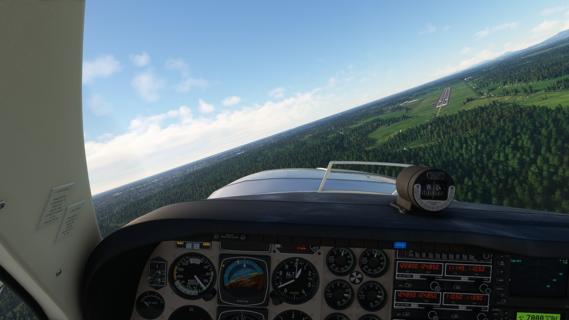


And now yes, finally, this is the last stop at Japan. I'll stay here for few days, waiting for the weather to calm down a bit over the Kuril islands.

Or not... This Tour, although realistic, is also meant to be a challenge. Setting IFR to cross from Japan to Kamchatka at FL190 is not what I want to do, that would be the realistic approach. I prefer to do island hopping and, if I have to deal with bath weather, well, that's the funny part. Ferry flights and discovery flights of remote regions have been traditionally challenging and simulating something similar will be funnier than doing full IFR on a 4 hours leg. So I might decide to throw myself at extreme bad weather over the sea, jumping from island to island at low altitude, despite not being what a normal pilot would do nowadays.

------

Technical details:
 
RJCK RJCN

HOKUTO TORO RJCS NIJIBETSU KENEBETSU

Distance: 50 nm
Average GS: 230 kt
Altitude: 5500 ft

METAR:

RJCK 290000Z 34004KT 9999 FEW030 M06/M10 Q1019
RJCN 290000Z 24003KT 200V260 9999 FEW015 SCT050 M05/M08 Q1019


World Tour 2 - Leg 63 - Asahikawa to Kushiro

Nothing special about this leg, with the exception of taking off from a snowed short grass strip. This was in pretty challenging, since I even accumulated ice during the taxi and had to spend few minutes on the holding point till the ice was gone. In addition, the fact that the runway was slippery and very short, made me be extremely careful during the takeoff. I managed to climb right over a nice japanese tower, and I headed South, towards the coast.


I quickly reached 9,500 ft and used some mounts as features to orient myself towards Kushiro. Despite the dense clouds, it was easy to follow the original plan, checking the ground from the holes between them. And I knew the coast was clear so, worst case scenario, I would flew towards the sea and at some point I'd see it.


Once there, I just followed the visual approach for Kushiro airport and landed safely without issues.


My plan was to stay here as the last stop in Japan, but a group of people with a package insisted me on taking them to an airport nearby, that was even closer to Kuril islands. And they offered to pay well, so... I accepted.

------

Technical details:
 
RJCA RJCK

AWE CHUBETSU NIPESOTSU NUKABIRA ASHORO SHIRANUKA NISHISYORO

Distance: 100 nm
Average GS: 260 kt
Altitude: 9500 ft

METAR:

RJCA 280627Z 25009KT 6000 -SHSN FEW006 BKN020 BKN035 M03/M05 Q1020 RMK 1ST006 5CU020 7CU035 A3013
RJCK 282300Z 32005KT 9999 FEW030 M10/M12 Q1019


World Tour 2 - Leg 62 - Hakodate to Asahikawa

I was planning at what to do when 2 nervous men approached and asked me if I would carry them to Asahikawa. They told me they are in a relative hurry and that, instead of landing at the main airport, they wanted to land at the strip in the middle of the city, which is grass and of the exact same takeoff distance of the Baron. So, after such a challenge, I said yes without questioning more. And since we left so early, I even had time to do some tourism over iconic mounts of Hokkaido.

Right after taking off, I flew over the Hokkaido Homa-ga-take, one of the most active volcanoes with its last eruption at 2000.


From there, I crossed the Uchiura bay towards Lake Kuttara, a caldera lake containing the best water quality of Japan.


Then I visited Lake Toya, another caldera lake with a recursive island inside, that is said that never freezes.


Clouds here were dense, but my next waypoint was easily seen. Mount Yotei, another active volcano, very similar to Fuji. However, the last known eruption happened circa 1050 BC.


And from here I went to Sapporo, the fifth most populous city in Japan, very well known for holding many sports events such winter Olympics.


I followed the VOR to leave Sapporo towards Asahikawa and I generated again a virtual RNAV fix, based on Asihakawa VOR to find the grass field at the city. However, as I suspected, the strip was covered with snow. The good thing is that the asphalt airport is very close, just at 15 nm, so in case of problems, I can land there. However, I managed to land easily on the first try, thanks to the lack of crosswinds, to be honest.


My passengers paid really well and left as soon as I landed. And I found a package that has to be delivered at Kushiro, which is perfect to escape from the bad weather and to approach the end of Japan.

------

Technical details:
 
RJCH RJCA

MIHARA KIKYOU OHNUMA KOMAGATAKE KUTTARA TOYA YOTEI IKEDA OTARU SAPPORO TOBETSU TAKIKAWA ASAHIKAWA

Distance: 190 nm
Average GS: 250 kt
Altitude: 9500 ft

METAR:

RJCH 281000Z 01003KT 9999 FEW030 BKN170 M01/M05 Q1021
RJCA 280627Z 25009KT 6000 -SHSN FEW006 BKN020 BKN035 M03/M05 Q1020 RMK 1ST006 5CU020 7CU035 A301


World Tour 2 - Asian summary

Here I am, after so many months, at the end of the Asian section of the World Tour. I made a brief summary when I reached Paro, since it was...