Here I am, after so many months, at the end of the Asian section of the World Tour. I made a brief summary when I reached Paro, since it was at that location I had stopped my first attempt of the World Tour. This time I have continued, not as frequently as I'd like to, but life happens, and this is just a hobbie. Anyway, I continued flying this time across Asia, reaching not only the Aleutian Islands but also personal milestones I had set long time ago.

Some numbers for this Asian stage. I have flown 51 legs across 17 countries (Turkey, Irak, Iran, Turkmenistan, Uzbekistan, Tajikistan, Afghanistan, Pakistan, India, Nepal, China, Buthan, Myanmar, Vietnam, Taiwan, Japan and Russia). In total, about 12,200 nm (the European stage was about 3,000 nm, as a reference).
Although I've enjoyed a lot this stage, I'd like to mention some legs that were more special to me. Initially, the legs over Iran and Irak were quite impressive. On World Tour 1 I saw a lot of desert in Africa and Arabia, but during this Tour I hadn't seen any decent desert yet. Flying over the origin of the human Civilization felt quite nice.
The Karakorum was extremely impressive and this area, together with Tajikistan, is one of the best discoveries I've done in this Tour. Definitely I want to fly more over this region one day, maybe along the Silk Route. The Himalaya is also very beautiful, but it was not new to me. So even though I repeated some legs from World Tour 1, they were stunning but lacked the Wow factor of the first time. Anyway, the landing at Paro was very special to me, and taking off from there towards Lhasa, one of the most iconic legs of this Tour.
About 30% of those 51 legs were at Japan. This happened not just because of the length of this country (from Taiwan towards Kamchatka), but also because it coincided with my real-life trip to Japan and many jobs at FSE, so I stopped quite often along this part of the trip.
Finally, the Kuril Islands and Kamchatka have been funny to fly over, due to the weather and the huge amount of volcanoes I've seen. However, I don't find island hopping too enjoyable, at least in this part of the world. Maybe at the Caribean or Oceania, island hopping is more enjoyable, but those sea legs between Taiwan and the Aleutians have not been specially beautiful. Plenty of miles at high altitude and very few enjoyable ground landmarks on the way.
Anyway, this is an endurance Tour and there will be more tough legs. By now, I'm waiting for the weather to improve over the Aleutians, although it seems it will take several weeks. Probably I won't fly in few months, we will see. In the meantime, let's study US airspace regulations ;).
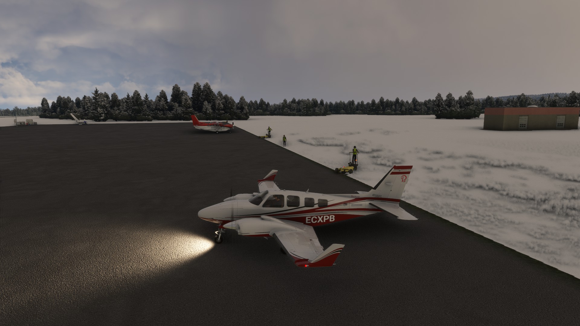
P.S: In addition, FSE has updated something in their database and the Baron 58 I have been flying for the whole Tour cannot be flown any more with the Baron 58 Pressurized in MSFS. So I sold the Baron 58 and bought a new Baron 58 turbo/tip tanks in Canada, to fix this problem. I'm ferrying the new Baron to the Aleutians and as soon as it will arrive, I'll continue with the Tour. At least now I'll be able to use the tip tanks, probably useful to cross to Greenland in the future.